 vesseltracker.com
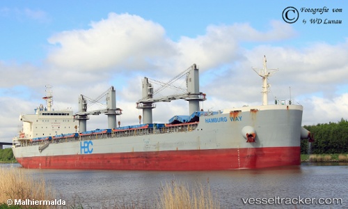
Find the position of the vessel Hamburg Way on the map. The latter are known coordinates and path.
marine traffic ship tracker show on live map
The current position of vessel Hamburg Way is 12.455853333333 lat / 73.872873333333 lng. Updated: 2025-11-04 16:08:43 UTCCurrently sailing under the flag of Philippines
Details:
Last coordinates of the vessel:
UTC, 12.980583333333, 73.587898333333, course: 150, speed: 11.4UTC, 12.980583333333, 73.587898333333, course: 150, speed: 11.4
UTC, 12.69498, 73.742171666667, course: 151, speed: 11.6
2025-11-04 16:08:43 UTC, 12.455853333333, 73.872873333333, course: 151, speed: 11.7