 vesseltracker.com
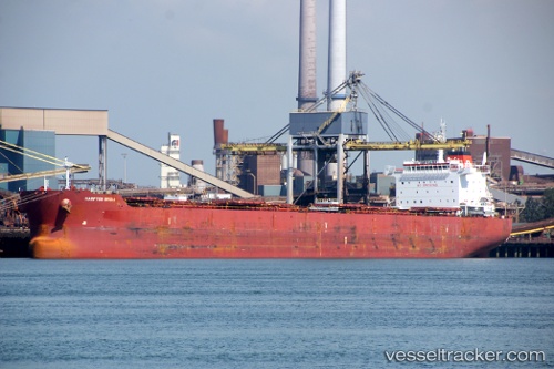
Vessel Hampton Bridge IMO: 9616905, MMSI: 229373000 Bulk Carrier
Live AIS position:
UTC. Near Noveleta),
updated 2024-03-07 01:05:23 UTC.
Find the position of the vessel Hampton Bridge on the map. The latter are known coordinates and path.
marine traffic ship tracker show on live map
The current position of vessel Hampton Bridge is 14.54462 lat / 120.80030 lng. Updated: 2024-03-07 01:05:23 UTCCurrently sailing under the flag of Malta
Hampton Bridge built in 2013 year
Deadweight:
76847 tDetails:
Last coordinates of the vessel:
2024-03-07 01:05:23 UTC, 14.54462, 120.80030, course: 7, speed: 0