 vesseltracker.com
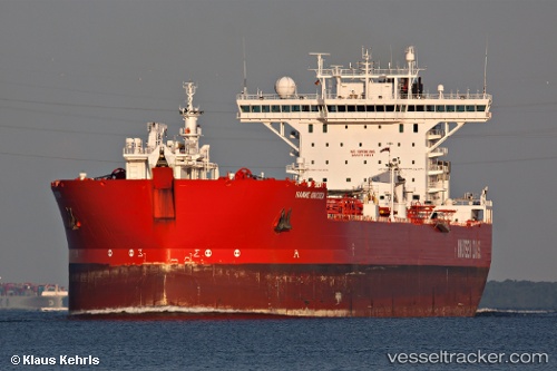
Vessel Hanne Knutsen IMO: 9190638, MMSI: 258277000 Fso Oil
UTC, 60.49637, 2.07593, course: 320, speed: 0
UTC, 60.49610, 2.07498, course: 337, speed: 0
2026-02-12 19:41:39 UTC, 60.49617, 2.07527, course: 332, speed: 0
Live AIS position:
UTC. 17 nm W of Tune),
updated 2026-02-12 19:41:39 UTC.
Find the position of the vessel Hanne Knutsen on the map. The latter are known coordinates and path.
marine traffic ship tracker show on live map
The current position of vessel Hanne Knutsen is 60.49617 lat / 2.07527 lng. Updated: 2026-02-12 19:41:39 UTCCurrently sailing under the flag of Norway
Hanne Knutsen built in 2000 year
Deadweight:
123581 tDetails:
Last coordinates of the vessel:
UTC, 60.49616, 2.07523, course: 333, speed: 0UTC, 60.49637, 2.07593, course: 320, speed: 0
UTC, 60.49610, 2.07498, course: 337, speed: 0
2026-02-12 19:41:39 UTC, 60.49617, 2.07527, course: 332, speed: 0