 vesseltracker.com
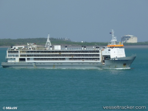
Vessel Hannoud o IMO: 8813037, MMSI: 667001840 Livestock Carrier
UTC, 33.98127, 35.18747, course: 274, speed: 9.5
UTC, 34.03496, 34.81715, course: 272, speed: 8.7
2026-02-12 21:58:01 UTC, 34.06513, 34.50749, course: 274, speed: 9
Live AIS position:
UTC. 49 nm W of Raouché),
updated 2026-02-12 21:58:01 UTC.
Find the position of the vessel Hannoud o on the map. The latter are known coordinates and path.
marine traffic ship tracker show on live map
The current position of vessel Hannoud o is 34.06513 lat / 34.50749 lng. Updated: 2026-02-12 21:58:01 UTCDetails:
Last coordinates of the vessel:
UTC, 33.90139, 35.51313, course: 180, speed: 0UTC, 33.98127, 35.18747, course: 274, speed: 9.5
UTC, 34.03496, 34.81715, course: 272, speed: 8.7
2026-02-12 21:58:01 UTC, 34.06513, 34.50749, course: 274, speed: 9