 vesseltracker.com
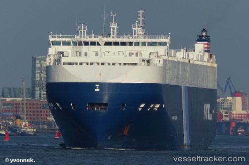
Vessel Harmony Leader IMO: 9441568, MMSI: 311040800 Vehicles Carrier
UTC, -22.92190, -41.61976, course: 224, speed: 11.1
UTC, -23.12833, -41.82167, course: -1, speed: 11
2026-02-11 13:27:24 UTC, -23.30551, -42.17612, course: 247, speed: 10.6
Live AIS position:
UTC. 22 nm S of Forno Pt/Arraial do Cabo),
updated 2026-02-11 13:27:24 UTC.
Find the position of the vessel Harmony Leader on the map. The latter are known coordinates and path.
marine traffic ship tracker show on live map
The current position of vessel Harmony Leader is -23.30551 lat / -42.17612 lng. Updated: 2026-02-11 13:27:24 UTCCurrently sailing under the flag of Bahamas
Harmony Leader built in 2011 year
Deadweight:
20434 tDetails:
Last coordinates of the vessel:
UTC, -22.68333, -41.32333, course: -1, speed: 11UTC, -22.92190, -41.61976, course: 224, speed: 11.1
UTC, -23.12833, -41.82167, course: -1, speed: 11
2026-02-11 13:27:24 UTC, -23.30551, -42.17612, course: 247, speed: 10.6