 vesseltracker.com
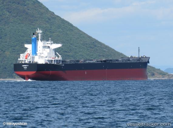
Vessel Harriet P IMO: 9852808, MMSI: 355520000 Bulk Carrier
UTC, -41.72667, 24.96666, course: -1, speed: 10
UTC, -41.58333, 25.47333, course: -1, speed: 11
2026-02-12 01:23:33 UTC, -41.47839, 25.87237, course: 69, speed: 12
Live AIS position:
UTC. 313 nm NE of Rosia Montana),
updated 2026-02-12 01:23:33 UTC.
Find the position of the vessel Harriet P on the map. The latter are known coordinates and path.
marine traffic ship tracker show on live map
The current position of vessel Harriet P is -41.47839 lat / 25.87237 lng. Updated: 2026-02-12 01:23:33 UTCDetails:
Last coordinates of the vessel:
UTC, -41.82935, 24.56286, course: 70, speed: 10.8UTC, -41.72667, 24.96666, course: -1, speed: 10
UTC, -41.58333, 25.47333, course: -1, speed: 11
2026-02-12 01:23:33 UTC, -41.47839, 25.87237, course: 69, speed: 12