 vesseltracker.com
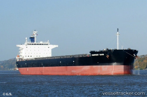
Vessel Harvest Rain IMO: 9643893, MMSI: 538006315 Bulk Carrier
UTC, 51.32184, 2.14707, course: 27, speed: 11.2
UTC, 51.67273, 2.45194, course: 40, speed: 11.8
2026-02-10 21:54:28 UTC, 51.90625, 2.80258, course: 45, speed: 11.4
Live AIS position:
UTC. 17 nm N of Thorntonbank),
updated 2026-02-10 21:54:28 UTC.
Find the position of the vessel Harvest Rain on the map. The latter are known coordinates and path.
marine traffic ship tracker show on live map
The current position of vessel Harvest Rain is 51.90625 lat / 2.80258 lng. Updated: 2026-02-10 21:54:28 UTCCurrently sailing under the flag of Marshall Is
Details:
Last coordinates of the vessel:
UTC, 50.99075, 1.54454, course: 44, speed: 13.3UTC, 51.32184, 2.14707, course: 27, speed: 11.2
UTC, 51.67273, 2.45194, course: 40, speed: 11.8
2026-02-10 21:54:28 UTC, 51.90625, 2.80258, course: 45, speed: 11.4