 vesseltracker.com
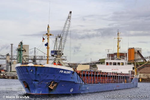
Vessel Hazal IMO: 8521414, MMSI: 271055024 General Cargo Ship
UTC, 36.60445, 36.16733, course: 272, speed: 0
UTC, 36.60514, 36.16706, course: 225, speed: 0.1
2026-01-31 03:45:17 UTC, 36.60524, 36.16707, course: 227, speed: 0.1
Live AIS position:
UTC. Near Iskenderun),
updated 2026-01-31 03:45:17 UTC.
Find the position of the vessel Hazal on the map. The latter are known coordinates and path.
marine traffic ship tracker show on live map
The current position of vessel Hazal is 36.60524 lat / 36.16707 lng. Updated: 2026-01-31 03:45:17 UTCCurrently sailing under the flag of Turkey
Hazal built in 1986 year
Deadweight:
1900 tDetails:
Last coordinates of the vessel:
UTC, 36.60375, 36.16649, course: 359, speed: 0.3UTC, 36.60445, 36.16733, course: 272, speed: 0
UTC, 36.60514, 36.16706, course: 225, speed: 0.1
2026-01-31 03:45:17 UTC, 36.60524, 36.16707, course: 227, speed: 0.1