 vesseltracker.com
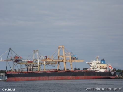
Vessel He Hua Hai IMO: 9620516, MMSI: 414073000 Bulk Carrier
UTC, 54.21174, -148.75562, course: 90, speed: 11.5
UTC, 54.22130, -148.10385, course: 92, speed: 11.7
2026-01-31 07:20:28 UTC, 54.22844, -147.76393, course: 90, speed: 11.5
Live AIS position:
UTC. 100 nm NE of Kings Bromley),
updated 2026-01-31 07:20:28 UTC.
Find the position of the vessel He Hua Hai on the map. The latter are known coordinates and path.
marine traffic ship tracker show on live map
The current position of vessel He Hua Hai is 54.22844 lat / -147.76393 lng. Updated: 2026-01-31 07:20:28 UTCCurrently sailing under the flag of China
He Hua Hai built in 2012 year
Deadweight:
115079 tDetails:
Last coordinates of the vessel:
UTC, 54.20661, -149.59222, course: 93, speed: 11.6UTC, 54.21174, -148.75562, course: 90, speed: 11.5
UTC, 54.22130, -148.10385, course: 92, speed: 11.7
2026-01-31 07:20:28 UTC, 54.22844, -147.76393, course: 90, speed: 11.5