 vesseltracker.com
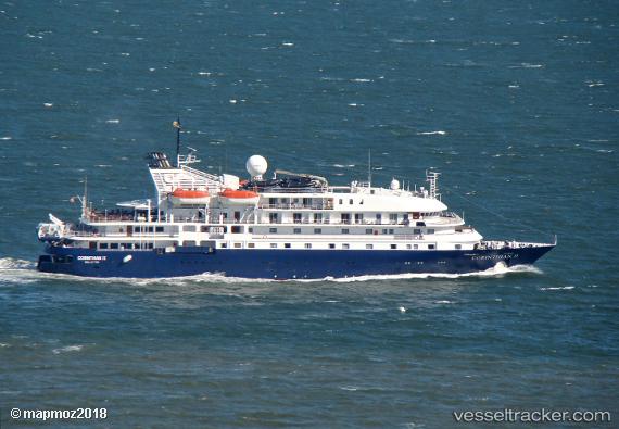
Find the position of the vessel Hebridean Sky on the map. The latter are known coordinates and path.
marine traffic ship tracker show on live map
The current position of vessel Hebridean Sky is 37.06167 lat / 15.28667 lng. Updated: 2025-10-21 12:17:57 UTCCurrently sailing under the flag of Bahamas
Hebridean Sky built in 1991 year
Deadweight:
645 tDetails:
Last coordinates of the vessel:
UTC, 37.06167, 15.28667, course: -1, speed: 0UTC, 37.06167, 15.28667, course: -1, speed: 0
UTC, 37.06167, 15.28667, course: -1, speed: 0
2025-10-21 12:17:57 UTC, 37.06167, 15.28667, course: -1, speed: 0