 vesseltracker.com
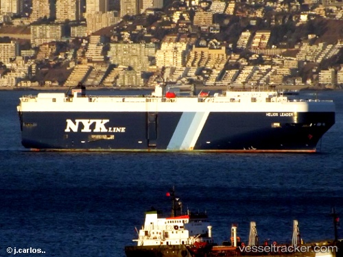
Vessel Helios Leader IMO: 9476745, MMSI: 432723000 Vehicles Carrier
UTC, 30.87925, -118.67986, course: 227, speed: 17.1
UTC, 30.50022, -119.26571, course: 236, speed: 16.8
2026-02-01 18:08:49 UTC, 30.13191, -119.89093, course: 241, speed: 17
Live AIS position:
UTC. 186 nm SW of Santo Tomas),
updated 2026-02-01 18:08:49 UTC.
Find the position of the vessel Helios Leader on the map. The latter are known coordinates and path.
marine traffic ship tracker show on live map
The current position of vessel Helios Leader is 30.13191 lat / -119.89093 lng. Updated: 2026-02-01 18:08:49 UTCDetails:
Last coordinates of the vessel:
UTC, 31.13537, -118.36228, course: 228, speed: 16.5UTC, 30.87925, -118.67986, course: 227, speed: 17.1
UTC, 30.50022, -119.26571, course: 236, speed: 16.8
2026-02-01 18:08:49 UTC, 30.13191, -119.89093, course: 241, speed: 17