 vesseltracker.com
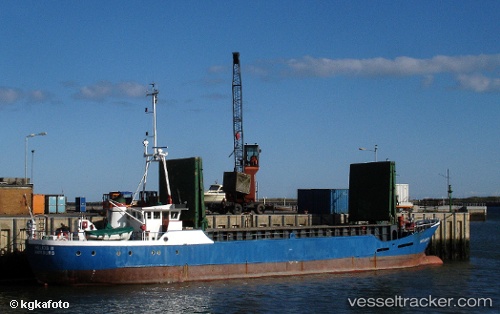
Vessel Helios2 IMO: 1007110, MMSI: 319581000 Service Ship
UTC, 26.10290, -80.12015, course: 87, speed: 0
UTC, 26.10290, -80.12016, course: 88, speed: 0
2026-02-01 17:27:51 UTC, 26.10290, -80.12016, course: 87, speed: 0
Live AIS position:
UTC. Near Port Everglades),
updated 2026-02-01 17:27:51 UTC.
Find the position of the vessel Helios2 on the map. The latter are known coordinates and path.
marine traffic ship tracker show on live map
The current position of vessel Helios2 is 26.10290 lat / -80.12016 lng. Updated: 2026-02-01 17:27:51 UTCCurrently sailing under the flag of Cayman Is
Details:
Last coordinates of the vessel:
UTC, 26.10290, -80.12016, course: 87, speed: 0UTC, 26.10290, -80.12015, course: 87, speed: 0
UTC, 26.10290, -80.12016, course: 88, speed: 0
2026-02-01 17:27:51 UTC, 26.10290, -80.12016, course: 87, speed: 0