 vesseltracker.com
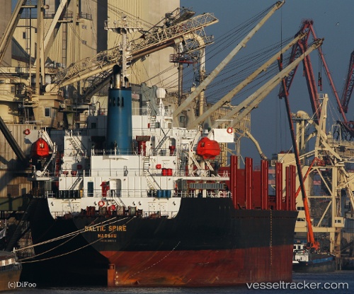
Vessel Henry Well IMO: 9180011, MMSI: 355844000 Bulk Carrier
UTC, 42.07333, 29.11167, course: -1, speed: 10
UTC, 41.76087, 29.09764, course: 181, speed: 10.4
2026-01-31 08:34:15 UTC, 41.50418, 29.04950, course: 317, speed: 0.7
Live AIS position:
UTC. 17 nm N of RUMELI FENERI),
updated 2026-01-31 08:34:15 UTC.
Find the position of the vessel Henry Well on the map. The latter are known coordinates and path.
marine traffic ship tracker show on live map
The current position of vessel Henry Well is 41.50418 lat / 29.04950 lng. Updated: 2026-01-31 08:34:15 UTCDetails:
Last coordinates of the vessel:
UTC, 42.45167, 29.09500, course: -1, speed: 10UTC, 42.07333, 29.11167, course: -1, speed: 10
UTC, 41.76087, 29.09764, course: 181, speed: 10.4
2026-01-31 08:34:15 UTC, 41.50418, 29.04950, course: 317, speed: 0.7