 vesseltracker.com
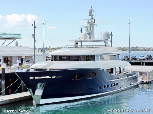
Vessel Hey Jude IMO: 1012555, MMSI: 503018980 General Cargo Ship
UTC, -33.85862, 151.26463, course: 37, speed: 0.2
UTC, -33.85844, 151.26469, course: 98, speed: 0
2026-01-31 11:43:40 UTC, -33.85876, 151.26492, course: 66, speed: 0.6
Live AIS position:
UTC. Near Vaucluse),
updated 2026-01-31 11:43:40 UTC.
Find the position of the vessel Hey Jude on the map. The latter are known coordinates and path.
marine traffic ship tracker show on live map
The current position of vessel Hey Jude is -33.85876 lat / 151.26492 lng. Updated: 2026-01-31 11:43:40 UTCCurrently sailing under the flag of Australia
Details:
Last coordinates of the vessel:
UTC, -33.85875, 151.26491, course: 34, speed: 0.4UTC, -33.85862, 151.26463, course: 37, speed: 0.2
UTC, -33.85844, 151.26469, course: 98, speed: 0
2026-01-31 11:43:40 UTC, -33.85876, 151.26492, course: 66, speed: 0.6