 vesseltracker.com
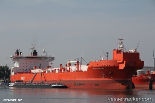
Find the position of the vessel Hilda Knutsen on the map. The latter are known coordinates and path.
marine traffic ship tracker show on live map
The current position of vessel Hilda Knutsen is 60.81524 lat / 3.99149 lng. Updated: 2025-11-04 17:30:40 UTCCurrently sailing under the flag of Norway
Hilda Knutsen built in 2013 year
Deadweight:
123166 tDetails:
Last coordinates of the vessel:
UTC, 60.80103, 3.97824, course: 207, speed: 0.5UTC, 60.80092, 3.97169, course: 199, speed: 0.4
UTC, 60.80736, 3.98158, course: 198, speed: 0.6
2025-11-04 17:30:40 UTC, 60.81524, 3.99149, course: 199, speed: 0.8