 vesseltracker.com
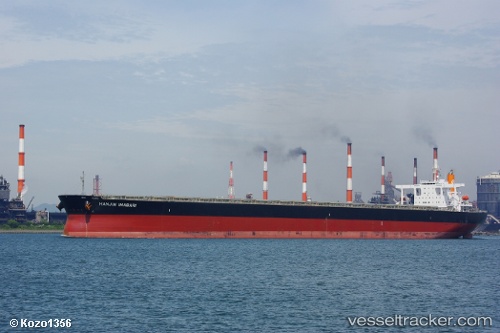
Vessel Hl Imabari IMO: 9439034, MMSI: 370876000 Ore Carrier
UTC, -4.21053, -5.56782, course: 138, speed: 9.1
UTC, -4.45420, -5.39698, course: 135, speed: 9.1
2026-02-12 05:44:47 UTC, -4.69843, -5.21887, course: 148, speed: 9.3
Live AIS position:
UTC. Open sea, approx. 420 nm off the nearest listed port),
updated 2026-02-12 05:44:47 UTC.
Find the position of the vessel Hl Imabari on the map. The latter are known coordinates and path.
marine traffic ship tracker show on live map
The current position of vessel Hl Imabari is -4.69843 lat / -5.21887 lng. Updated: 2026-02-12 05:44:47 UTCDetails:
Last coordinates of the vessel:
UTC, -3.93592, -5.76388, course: 141, speed: 9.6UTC, -4.21053, -5.56782, course: 138, speed: 9.1
UTC, -4.45420, -5.39698, course: 135, speed: 9.1
2026-02-12 05:44:47 UTC, -4.69843, -5.21887, course: 148, speed: 9.3