 vesseltracker.com
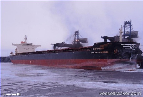
Vessel Hl Samarinda IMO: 9537551, MMSI: 371670000 Bulk Carrier
UTC, -11.71333, 152.12167, course: -1, speed: 10
UTC, -12.04167, 152.15500, course: -1, speed: 11
2026-02-12 06:14:56 UTC, -12.42169, 152.19257, course: 180, speed: 11.2
Live AIS position:
UTC. 99 nm S of Deboyne Lagoon),
updated 2026-02-12 06:14:56 UTC.
Find the position of the vessel Hl Samarinda on the map. The latter are known coordinates and path.
marine traffic ship tracker show on live map
The current position of vessel Hl Samarinda is -12.42169 lat / 152.19257 lng. Updated: 2026-02-12 06:14:56 UTCCurrently sailing under the flag of Panama
Hl Samarinda built in 2011 year
Deadweight:
114536 tDetails:
Last coordinates of the vessel:
UTC, -11.26500, 152.10167, course: -1, speed: 10UTC, -11.71333, 152.12167, course: -1, speed: 10
UTC, -12.04167, 152.15500, course: -1, speed: 11
2026-02-12 06:14:56 UTC, -12.42169, 152.19257, course: 180, speed: 11.2