 vesseltracker.com
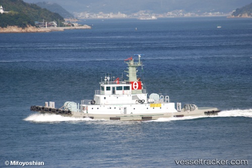
Vessel Hojinmaru IMO: 9721152, MMSI: 431005576 Tug
UTC, 34.47318, 133.75821, course: 5, speed: 0
UTC, 34.33931, 133.85594, course: 231, speed: 11
2026-02-10 01:25:31 UTC, 34.33650, 133.84277, course: 28, speed: 0
Live AIS position:
UTC. Near Sakaide),
updated 2026-02-10 01:25:31 UTC.
Find the position of the vessel Hojinmaru on the map. The latter are known coordinates and path.
marine traffic ship tracker show on live map
The current position of vessel Hojinmaru is 34.33650 lat / 133.84277 lng. Updated: 2026-02-10 01:25:31 UTCDetails:
Last coordinates of the vessel:
UTC, 34.47318, 133.75821, course: 5, speed: 0UTC, 34.47318, 133.75821, course: 5, speed: 0
UTC, 34.33931, 133.85594, course: 231, speed: 11
2026-02-10 01:25:31 UTC, 34.33650, 133.84277, course: 28, speed: 0