 vesseltracker.com
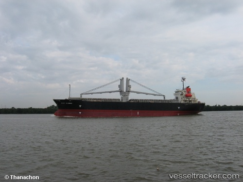
Vessel Hosei 58 IMO: 9311244, MMSI: 354508000 General Cargo Ship
UTC, 27.08957, 122.96412, course: 26, speed: 3.8
UTC, 27.25833, 122.99500, course: -1, speed: 4
2026-02-07 15:57:44 UTC, 27.37167, 122.97500, course: -1, speed: 3
Live AIS position:
UTC. 82 nm SE of Wenling Longmen Port),
updated 2026-02-07 15:57:44 UTC.
Find the position of the vessel Hosei 58 on the map. The latter are known coordinates and path.
marine traffic ship tracker show on live map
The current position of vessel Hosei 58 is 27.37167 lat / 122.97500 lng. Updated: 2026-02-07 15:57:44 UTCCurrently sailing under the flag of Panama
Hosei 58 built in 2004 year
Deadweight:
13276 tDetails:
Last coordinates of the vessel:
UTC, 27.00833, 122.84333, course: -1, speed: 2UTC, 27.08957, 122.96412, course: 26, speed: 3.8
UTC, 27.25833, 122.99500, course: -1, speed: 4
2026-02-07 15:57:44 UTC, 27.37167, 122.97500, course: -1, speed: 3