.
vessel Humanity IMO: 9180281, Crude Oil Tanker
vesseltracker.com
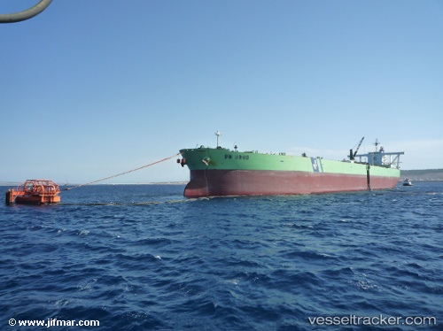
Vessel Humanity IMO: 9180281, MMSI: 422204700 Crude Oil Tanker

callsign: EPJB9
size: 60x322

Live AIS position: UTC. Near Offshore Fujairah), updated 2025-12-15 13:37:52 UTC.

Find the position of the vessel Humanity on the map. The latter are known coordinates and path.

marine traffic ship tracker show on live map

The current position of vessel Humanity is 25.40060 lat / 56.65529 lng. Updated: 2025-12-15 13:37:52 UTC
Details:


Last coordinates of the vessel:
2025-12-15 13:37:52 UTC, 25.40060, 56.65529, course: 34, speed: 13.1

Track of the vessel in the last 28 days


Most frequent ports a vessels calls at Humanity (422204700):

Sambu, traffic: 8
Singapore, traffic: 7
PULAU SAMBU, traffic: 4
PENGERANG, traffic: 3
TANAH MERAH, traffic: 3
BATU AMPAR, traffic: 2
Kharg Island, traffic: 1

Link to the map:


Find another ship

Humanity (422204700) last ports (portcalls and passsages)

PULAU SAMBU | 2025-04-19 10:06:28
TANAH MERAH | 2025-04-19 09:24:02
PENGERANG | 2025-04-19 08:23:05
PENGERANG | 2025-03-25 01:29:51
PULAU SAMBU | 2025-03-24 23:25:35
PULAU SAMBU | 2025-02-03 20:56:07
TANAH MERAH | 2025-02-03 20:14:05
PENGERANG | 2025-01-05 22:06:36
TANAH MERAH | 2025-01-05 20:46:36
PULAU SAMBU | 2025-01-05 19:23:34
Singapore | 2024-10-24 19:57:37
Singapore | 2024-10-08 20:35:12
Singapore | 2024-02-20 16:57:01
Singapore | 2023-09-01 06:15:43
Kharg Island | 2023-01-20 08:23:02