 vesseltracker.com
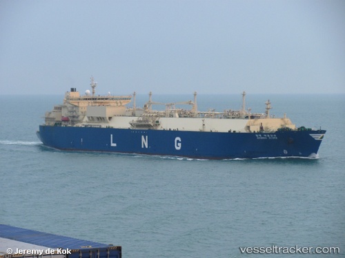
Vessel Hyundai Ecopia IMO: 9372999, MMSI: 370983000 Lng Tanker
UTC, -25.72230, 69.16461, course: 246, speed: 16.7
UTC, -25.86302, 68.80103, course: 246, speed: 17
2026-03-01 09:42:15 UTC, -26.13223, 68.10493, course: 243, speed: 18
Live AIS position:
UTC. 195 nm SW of Antofagasta),
updated 2026-03-01 09:42:15 UTC.
Find the position of the vessel Hyundai Ecopia on the map. The latter are known coordinates and path.
marine traffic ship tracker show on live map
The current position of vessel Hyundai Ecopia is -26.13223 lat / 68.10493 lng. Updated: 2026-03-01 09:42:15 UTCDetails:
Last coordinates of the vessel:
UTC, -25.40488, 69.92157, course: 242, speed: 16.7UTC, -25.72230, 69.16461, course: 246, speed: 16.7
UTC, -25.86302, 68.80103, course: 246, speed: 17
2026-03-01 09:42:15 UTC, -26.13223, 68.10493, course: 243, speed: 18