 vesseltracker.com
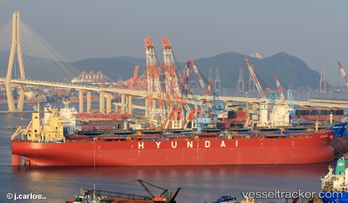
Vessel Hyundai Komipo IMO: 9703083, MMSI: 374148000 Bulk Carrier
UTC, 37.06528, 126.51045, course: 113, speed: 0
UTC, 37.06525, 126.51042, course: -1, speed: 0
2026-03-01 05:33:37 UTC, 37.06527, 126.51042, course: 113, speed: 0
Live AIS position:
UTC. Near DAESAN),
updated 2026-03-01 05:33:37 UTC.
Find the position of the vessel Hyundai Komipo on the map. The latter are known coordinates and path.
marine traffic ship tracker show on live map
The current position of vessel Hyundai Komipo is 37.06527 lat / 126.51042 lng. Updated: 2026-03-01 05:33:37 UTCDetails:
Last coordinates of the vessel:
UTC, 37.06523, 126.51045, course: 113, speed: 0UTC, 37.06528, 126.51045, course: 113, speed: 0
UTC, 37.06525, 126.51042, course: -1, speed: 0
2026-03-01 05:33:37 UTC, 37.06527, 126.51042, course: 113, speed: 0