 vesseltracker.com
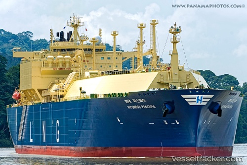
Vessel Hyundai Peacepia IMO: 9761853, MMSI: 374816000 Lng Tanker
UTC, -8.18705, -26.72030, course: 128, speed: 17.4
UTC, -8.53350, -26.27586, course: 129, speed: 17.4
2026-03-01 07:56:19 UTC, -8.93364, -25.76763, course: 130, speed: 17.4
Live AIS position:
UTC. 341 nm SE of Aquiraz),
updated 2026-03-01 07:56:19 UTC.
Find the position of the vessel Hyundai Peacepia on the map. The latter are known coordinates and path.
marine traffic ship tracker show on live map
The current position of vessel Hyundai Peacepia is -8.93364 lat / -25.76763 lng. Updated: 2026-03-01 07:56:19 UTCDetails:
Last coordinates of the vessel:
UTC, -7.89238, -27.09176, course: 129, speed: 17.6UTC, -8.18705, -26.72030, course: 128, speed: 17.4
UTC, -8.53350, -26.27586, course: 129, speed: 17.4
2026-03-01 07:56:19 UTC, -8.93364, -25.76763, course: 130, speed: 17.4