 vesseltracker.com
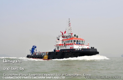
Vessel I.n.w 5 IMO: 9596624, MMSI: 373829000 Utility Vessel
UTC, 24.58080, 54.29348, course: 318, speed: 8.7
UTC, 24.71538, 54.00983, course: 283, speed: 9.6
2026-02-06 01:29:58 UTC, 24.81499, 53.83063, course: 326, speed: 6.1
Live AIS position:
UTC. 27 nm NE of Mubarraz Island),
updated 2026-02-06 01:29:58 UTC.
Find the position of the vessel I.n.w 5 on the map. The latter are known coordinates and path.
marine traffic ship tracker show on live map
The current position of vessel I.n.w 5 is 24.81499 lat / 53.83063 lng. Updated: 2026-02-06 01:29:58 UTCDetails:
Last coordinates of the vessel:
UTC, 24.51402, 54.36982, course: 147, speed: 0UTC, 24.58080, 54.29348, course: 318, speed: 8.7
UTC, 24.71538, 54.00983, course: 283, speed: 9.6
2026-02-06 01:29:58 UTC, 24.81499, 53.83063, course: 326, speed: 6.1