 vesseltracker.com
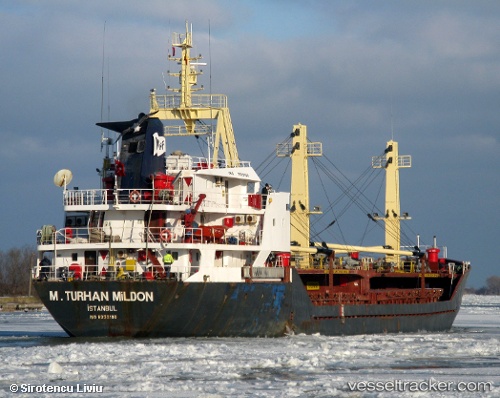
Vessel INANDI IMO: 8332100, MMSI: 353920000 General Cargo Ship
UTC, 45.43801, 28.18989, course: 162, speed: 8.3
UTC, 45.43801, 28.18989, course: 162, speed: 8.3
2026-02-04 12:53:12 UTC, 45.43801, 28.18989, course: 162, speed: 8.3
Live AIS position:
UTC. Near Giurgiulesti),
updated 2026-02-04 12:53:12 UTC.
Find the position of the vessel INANDI on the map. The latter are known coordinates and path.
marine traffic ship tracker show on live map
The current position of vessel INANDI is 45.43801 lat / 28.18989 lng. Updated: 2026-02-04 12:53:12 UTCCurrently sailing under the flag of Panama
INANDI built in 1984 year
Deadweight:
3465 tDetails:
Last coordinates of the vessel:
UTC, 45.17295, 29.12713, course: 271, speed: 8.1UTC, 45.43801, 28.18989, course: 162, speed: 8.3
UTC, 45.43801, 28.18989, course: 162, speed: 8.3
2026-02-04 12:53:12 UTC, 45.43801, 28.18989, course: 162, speed: 8.3