 vesseltracker.com
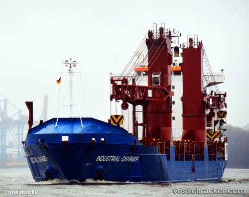
Vessel 'CHARGER' IMO: 9213959, MMSI: 305157000
UTC, 40.64920, 14.76229, course: 251, speed: 0.2
UTC, 40.64966, 14.76188, course: 208, speed: 0.3
2026-02-06 19:56:07 UTC, 40.64966, 14.76178, course: 207, speed: 0.8
Live AIS position:
UTC. Near Salerno),
updated 2026-02-06 19:56:07 UTC.
Find the position of the vessel 'CHARGER' on the map. The latter are known coordinates and path.
marine traffic ship tracker show on live map
The current position of vessel 'CHARGER' is 40.64966 lat / 14.76178 lng. Updated: 2026-02-06 19:56:07 UTCDetails:
Last coordinates of the vessel:
UTC, 40.64928, 14.76242, course: 244, speed: 0.3UTC, 40.64920, 14.76229, course: 251, speed: 0.2
UTC, 40.64966, 14.76188, course: 208, speed: 0.3
2026-02-06 19:56:07 UTC, 40.64966, 14.76178, course: 207, speed: 0.8