 vesseltracker.com
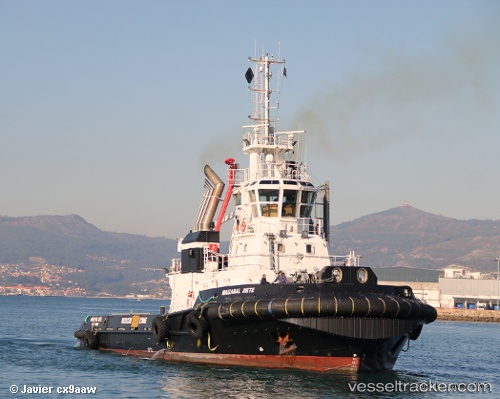
Vessel IBAIZABAL SIETE IMO: 9397444, MMSI: 255806276 Tug
UTC, -6.97333, 12.41500, course: -1, speed: 0
UTC, -6.97473, 12.41593, course: -1, speed: 0.4
2026-02-26 22:03:02 UTC, -6.97468, 12.41565, course: -1, speed: 0.3
Live AIS position:
UTC. Near Lombo Terminal),
updated 2026-02-26 22:03:02 UTC.
Find the position of the vessel IBAIZABAL SIETE on the map. The latter are known coordinates and path.
marine traffic ship tracker show on live map
The current position of vessel IBAIZABAL SIETE is -6.97468 lat / 12.41565 lng. Updated: 2026-02-26 22:03:02 UTCCurrently sailing under the flag of Portugal (MAR)
IBAIZABAL SIETE built in 2009 year
Deadweight:
736 tDetails:
Last coordinates of the vessel:
UTC, -6.97467, 12.41550, course: -1, speed: 0.3UTC, -6.97333, 12.41500, course: -1, speed: 0
UTC, -6.97473, 12.41593, course: -1, speed: 0.4
2026-02-26 22:03:02 UTC, -6.97468, 12.41565, course: -1, speed: 0.3