 vesseltracker.com
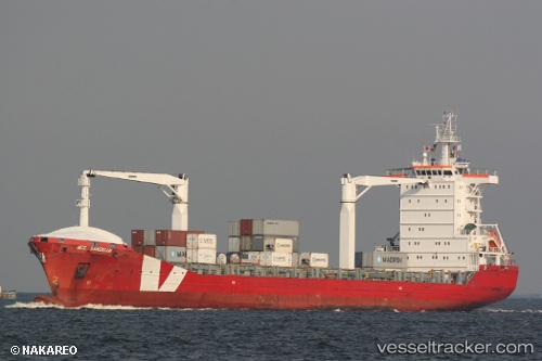
Vessel TIGER GAUCHO IMO: 9405100, MMSI: 352004506 Container Ship
UTC, -35.02139, -56.08438, course: -1, speed: 4.4
UTC, -34.90042, -56.21415, course: 64, speed: 5.6
2026-02-25 17:39:57 UTC, -34.89997, -56.20581, course: 127, speed: 0
Live AIS position:
UTC. Near Montevideo),
updated 2026-02-25 17:39:57 UTC.
Find the position of the vessel TIGER GAUCHO on the map. The latter are known coordinates and path.
marine traffic ship tracker show on live map
The current position of vessel TIGER GAUCHO is -34.89997 lat / -56.20581 lng. Updated: 2026-02-25 17:39:57 UTCCurrently sailing under the flag of Panama
Details:
Last coordinates of the vessel:
UTC, -35.06556, -55.68668, course: 266, speed: 13.1UTC, -35.02139, -56.08438, course: -1, speed: 4.4
UTC, -34.90042, -56.21415, course: 64, speed: 5.6
2026-02-25 17:39:57 UTC, -34.89997, -56.20581, course: 127, speed: 0