 vesseltracker.com
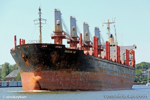
Vessel GOZO IMO: 9109964, MMSI: 511101034 Bulk Carrier
UTC, 31.18490, 29.73696, course: 273, speed: 0
UTC, 31.18493, 29.73687, course: 275, speed: 0
2026-02-25 12:13:11 UTC, 31.18333, 29.73500, course: -1, speed: 0
Live AIS position:
UTC. Near EL DEKHEILA),
updated 2026-02-25 12:13:11 UTC.
Find the position of the vessel GOZO on the map. The latter are known coordinates and path.
marine traffic ship tracker show on live map
The current position of vessel GOZO is 31.18333 lat / 29.73500 lng. Updated: 2026-02-25 12:13:11 UTCCurrently sailing under the flag of Palau
Details:
Last coordinates of the vessel:
UTC, 31.18499, 29.73686, course: 269, speed: 0UTC, 31.18490, 29.73696, course: 273, speed: 0
UTC, 31.18493, 29.73687, course: 275, speed: 0
2026-02-25 12:13:11 UTC, 31.18333, 29.73500, course: -1, speed: 0