 vesseltracker.com
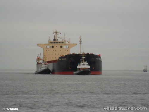
Vessel VELA STAR IMO: 9402938, MMSI: 538012261 Bulk Carrier
UTC, 42.29070, 143.64568, course: 224, speed: 0.3
UTC, 42.29918, 143.62418, course: 208, speed: 0.4
2026-03-17 04:07:24 UTC, 42.29982, 143.60374, course: 204, speed: 0.5
Live Vessel VELA STAR Analytics (details, animations, etc.)
Live AIS position: UTC. 12 nm E of TOKACHI), updated 2026-03-17 04:07:24 UTC.Find the position of the vessel VELA STAR on the map. The latter are known coordinates and path.
marine traffic ship tracker show on live map
The current position of vessel VELA STAR is 42.29982 lat / 143.60374 lng. Updated: 2026-03-17 04:07:24 UTCCurrently sailing under the flag of Marshall Islands
Details:
Last coordinates of the vessel:
UTC, 42.29140, 143.66270, course: 205, speed: 1.4UTC, 42.29070, 143.64568, course: 224, speed: 0.3
UTC, 42.29918, 143.62418, course: 208, speed: 0.4
2026-03-17 04:07:24 UTC, 42.29982, 143.60374, course: 204, speed: 0.5