 vesseltracker.com
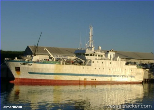
Vessel Ile Bourbon IMO: 9245421, MMSI: 635000300 Fishing Vessel
UTC, -49.52317, 63.45004, course: 14, speed: 11.7
UTC, -49.11948, 63.47391, course: 227, speed: 0.5
2026-03-24 05:46:25 UTC, -49.13780, 63.44201, course: 236, speed: 0.9
Live Vessel Ile Bourbon Analytics (details, animations, etc.)
Live AIS position: UTC. 266 nm W of Port-aux-Français), updated 2026-03-24 05:46:25 UTC.Find the position of the vessel Ile Bourbon on the map. The latter are known coordinates and path.
marine traffic ship tracker show on live map
The current position of vessel Ile Bourbon is -49.13780 lat / 63.44201 lng. Updated: 2026-03-24 05:46:25 UTCDetails:
Last coordinates of the vessel:
UTC, -49.75876, 63.39583, course: 30, speed: 11.6UTC, -49.52317, 63.45004, course: 14, speed: 11.7
UTC, -49.11948, 63.47391, course: 227, speed: 0.5
2026-03-24 05:46:25 UTC, -49.13780, 63.44201, course: 236, speed: 0.9