 vesseltracker.com
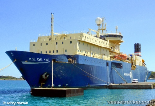
Vessel Ile De Re IMO: 8200278, MMSI: 525100486 Cable Layer
UTC, 24.27074, 120.52165, course: -1, speed: 0
UTC, 24.27076, 120.52164, course: -1, speed: 0
2026-02-27 02:18:35 UTC, 24.27077, 120.52167, course: -1, speed: 0
Live AIS position:
UTC. Near TAICHUNG),
updated 2026-02-27 02:18:35 UTC.
Find the position of the vessel Ile De Re on the map. The latter are known coordinates and path.
marine traffic ship tracker show on live map
The current position of vessel Ile De Re is 24.27077 lat / 120.52167 lng. Updated: 2026-02-27 02:18:35 UTCDetails:
Last coordinates of the vessel:
UTC, 24.27073, 120.52165, course: -1, speed: 0UTC, 24.27074, 120.52165, course: -1, speed: 0
UTC, 24.27076, 120.52164, course: -1, speed: 0
2026-02-27 02:18:35 UTC, 24.27077, 120.52167, course: -1, speed: 0