 vesseltracker.com
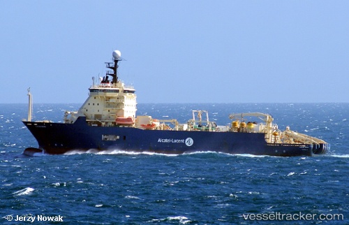
Vessel Ile De Sein IMO: 9247039, MMSI: 226235000 Cable Layer
UTC, -2.28412, -81.27937, course: 330, speed: 0.1
UTC, -2.28408, -81.27940, course: 330, speed: 0
2026-02-27 08:08:59 UTC, -2.28409, -81.27932, course: 331, speed: 0
Live AIS position:
UTC. 18 nm W of Salinas),
updated 2026-02-27 08:08:59 UTC.
Find the position of the vessel Ile De Sein on the map. The latter are known coordinates and path.
marine traffic ship tracker show on live map
The current position of vessel Ile De Sein is -2.28409 lat / -81.27932 lng. Updated: 2026-02-27 08:08:59 UTCDetails:
Last coordinates of the vessel:
UTC, -2.28403, -81.27929, course: 335, speed: 0.2UTC, -2.28412, -81.27937, course: 330, speed: 0.1
UTC, -2.28408, -81.27940, course: 330, speed: 0
2026-02-27 08:08:59 UTC, -2.28409, -81.27932, course: 331, speed: 0