 vesseltracker.com
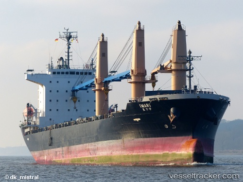
Vessel Imari IMO: 9567776, MMSI: 373202000 General Cargo Ship
Live AIS position:
UTC. Near Majistan/Zhoushan),
updated 2025-03-04 01:09:09 UTC.
Find the position of the vessel Imari on the map. The latter are known coordinates and path.
marine traffic ship tracker show on live map
The current position of vessel Imari is 29.98775 lat / 122.14001 lng. Updated: 2025-03-04 01:09:09 UTCDetails:
Last coordinates of the vessel:
2025-03-04 01:09:09 UTC, 29.98775, 122.14001, course: 249, speed: 0