 vesseltracker.com
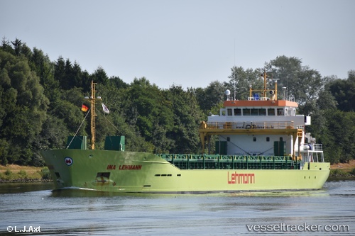
Vessel Ina Lehmann IMO: 9805427, MMSI: 304585000 Deck Cargo Ship
UTC, 59.09964, 22.25451, course: 248, speed: 4.4
UTC, 59.08731, 22.19319, course: 244, speed: 4.8
2026-02-27 03:33:55 UTC, 58.94199, 21.81253, course: -1, speed: 4.8
Live AIS position:
UTC. Near Kalana),
updated 2026-02-27 03:33:55 UTC.
Find the position of the vessel Ina Lehmann on the map. The latter are known coordinates and path.
marine traffic ship tracker show on live map
The current position of vessel Ina Lehmann is 58.94199 lat / 21.81253 lng. Updated: 2026-02-27 03:33:55 UTCCurrently sailing under the flag of Antigua Barbuda
Details:
Last coordinates of the vessel:
UTC, 59.42436, 23.92121, course: -1, speed: 4.3UTC, 59.09964, 22.25451, course: 248, speed: 4.4
UTC, 59.08731, 22.19319, course: 244, speed: 4.8
2026-02-27 03:33:55 UTC, 58.94199, 21.81253, course: -1, speed: 4.8