 vesseltracker.com
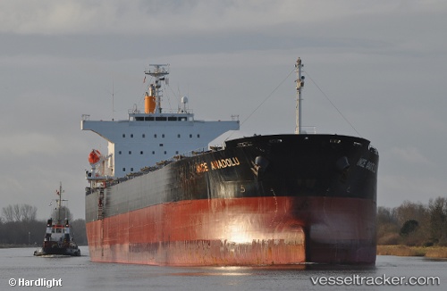
Vessel INCE ANADOLU IMO: 9527271, MMSI: 563243600 Bulk Carrier
UTC, -35.52333, 124.74833, course: -1, speed: 12
UTC, -35.53179, 125.22727, course: 90, speed: 12.7
2026-02-26 21:21:49 UTC, -35.52730, 125.63394, course: 88, speed: 12.4
Live AIS position:
UTC. 140 nm NW of Tongdaemun-Gu),
updated 2026-02-26 21:21:49 UTC.
Find the position of the vessel INCE ANADOLU on the map. The latter are known coordinates and path.
marine traffic ship tracker show on live map
The current position of vessel INCE ANADOLU is -35.52730 lat / 125.63394 lng. Updated: 2026-02-26 21:21:49 UTCCurrently sailing under the flag of Singapore
Details:
Last coordinates of the vessel:
UTC, -35.54120, 124.08109, course: 85, speed: 12.6UTC, -35.52333, 124.74833, course: -1, speed: 12
UTC, -35.53179, 125.22727, course: 90, speed: 12.7
2026-02-26 21:21:49 UTC, -35.52730, 125.63394, course: 88, speed: 12.4