 vesseltracker.com
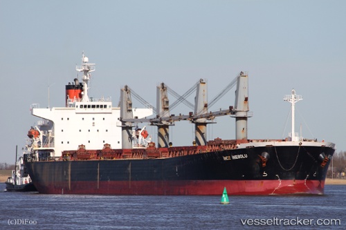
Vessel Ince Inebolu IMO: 9254472, MMSI: 271000874 Bulk Carrier
UTC, -28.38788, 111.71938, course: 139, speed: 6.3
UTC, -28.52147, 111.85019, course: 141, speed: 8.6
2026-02-28 19:54:44 UTC, -28.76884, 112.09539, course: 140, speed: 8.5
Live AIS position:
UTC. 131 nm W of Geraldton),
updated 2026-02-28 19:54:44 UTC.
Find the position of the vessel Ince Inebolu on the map. The latter are known coordinates and path.
marine traffic ship tracker show on live map
The current position of vessel Ince Inebolu is -28.76884 lat / 112.09539 lng. Updated: 2026-02-28 19:54:44 UTCDetails:
Last coordinates of the vessel:
UTC, -28.21718, 111.54925, course: 141, speed: 8.7UTC, -28.38788, 111.71938, course: 139, speed: 6.3
UTC, -28.52147, 111.85019, course: 141, speed: 8.6
2026-02-28 19:54:44 UTC, -28.76884, 112.09539, course: 140, speed: 8.5