 vesseltracker.com
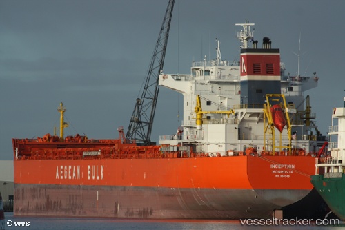
Vessel Inception IMO: 9540481, MMSI: 636015353 Bulk Carrier
UTC, -29.87545, -28.77193, course: 284, speed: 10.8
UTC, -29.79735, -29.16882, course: 285, speed: 10.7
2026-02-26 23:24:48 UTC, -29.73422, -29.49292, course: 284, speed: 10.6
Live AIS position:
UTC. 230 nm W of Sapiranga),
updated 2026-02-26 23:24:48 UTC.
Find the position of the vessel Inception on the map. The latter are known coordinates and path.
marine traffic ship tracker show on live map
The current position of vessel Inception is -29.73422 lat / -29.49292 lng. Updated: 2026-02-26 23:24:48 UTCDetails:
Last coordinates of the vessel:
UTC, -29.95897, -28.31265, course: 281, speed: 10.5UTC, -29.87545, -28.77193, course: 284, speed: 10.8
UTC, -29.79735, -29.16882, course: 285, speed: 10.7
2026-02-26 23:24:48 UTC, -29.73422, -29.49292, course: 284, speed: 10.6