 vesseltracker.com
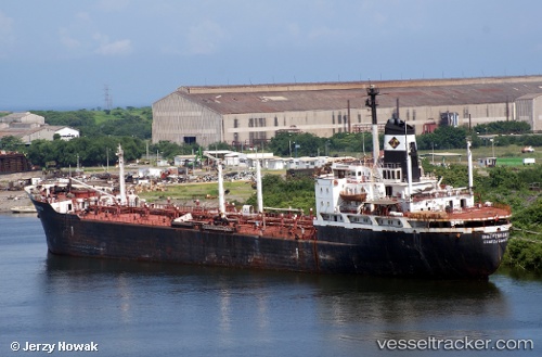
Vessel Independencia IMO: 9572678, MMSI: 345070246 Offshore Tug Supply Ship
UTC, 18.74370, -91.90770, course: -1, speed: 9.9
UTC, 18.65344, -91.84303, course: -1, speed: 0
2026-02-27 01:35:21 UTC, 18.65333, -91.84167, course: -1, speed: 0
Live AIS position:
UTC. Near PUERTO PESQUERO),
updated 2026-02-27 01:35:21 UTC.
Find the position of the vessel Independencia on the map. The latter are known coordinates and path.
marine traffic ship tracker show on live map
The current position of vessel Independencia is 18.65333 lat / -91.84167 lng. Updated: 2026-02-27 01:35:21 UTCDetails:
Last coordinates of the vessel:
UTC, 19.12020, -91.99489, course: -1, speed: 11.6UTC, 18.74370, -91.90770, course: -1, speed: 9.9
UTC, 18.65344, -91.84303, course: -1, speed: 0
2026-02-27 01:35:21 UTC, 18.65333, -91.84167, course: -1, speed: 0