 vesseltracker.com
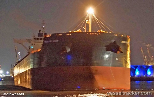
Vessel Indian Friendship IMO: 9521394, MMSI: 636016068 Ore Carrier
UTC, -20.09970, 118.60706, course: 279, speed: 0
UTC, -20.09991, 118.60706, course: 291, speed: 0.3
2026-02-26 15:24:55 UTC, -20.09833, 118.60667, course: -1, speed: 0
Live AIS position:
UTC. 12 nm N of Port Hedland),
updated 2026-02-26 15:24:55 UTC.
Find the position of the vessel Indian Friendship on the map. The latter are known coordinates and path.
marine traffic ship tracker show on live map
The current position of vessel Indian Friendship is -20.09833 lat / 118.60667 lng. Updated: 2026-02-26 15:24:55 UTCCurrently sailing under the flag of Liberia
Indian Friendship built in 2013 year
Deadweight:
181125 tDetails:
Last coordinates of the vessel:
UTC, -20.09987, 118.60702, course: 283, speed: 0.1UTC, -20.09970, 118.60706, course: 279, speed: 0
UTC, -20.09991, 118.60706, course: 291, speed: 0.3
2026-02-26 15:24:55 UTC, -20.09833, 118.60667, course: -1, speed: 0