 vesseltracker.com
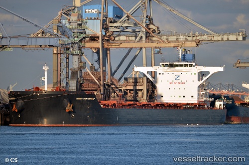
Vessel Indian Partnership IMO: 9521409, MMSI: 235110641 Ore Carrier
UTC, 2.00297, 118.18998, course: -1, speed: 0
UTC, 2.00383, 118.19094, course: -1, speed: 0
2026-02-26 20:17:02 UTC, 2.00355, 118.19107, course: -1, speed: 0
Live AIS position:
UTC. Near Muara Pantai),
updated 2026-02-26 20:17:02 UTC.
Find the position of the vessel Indian Partnership on the map. The latter are known coordinates and path.
marine traffic ship tracker show on live map
The current position of vessel Indian Partnership is 2.00355 lat / 118.19107 lng. Updated: 2026-02-26 20:17:02 UTCDetails:
Last coordinates of the vessel:
UTC, 2.00259, 118.18833, course: -1, speed: 0UTC, 2.00297, 118.18998, course: -1, speed: 0
UTC, 2.00383, 118.19094, course: -1, speed: 0
2026-02-26 20:17:02 UTC, 2.00355, 118.19107, course: -1, speed: 0