 vesseltracker.com
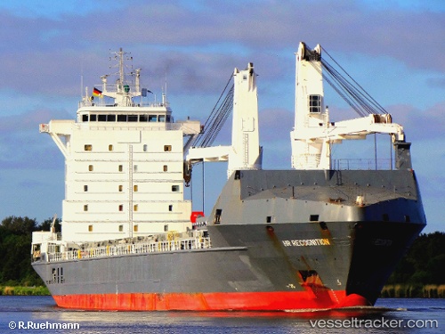
Vessel Industrial Ranger IMO: 9277280, MMSI: 636092311 Multi Purpose Carrier
UTC, 30.47631, -171.43581, course: 106, speed: 14.2
UTC, 30.31038, -170.82471, course: 105, speed: 13
2026-02-27 06:31:45 UTC, 30.31038, -170.82471, course: 105, speed: 13
Live AIS position:
UTC. 365 nm E of Midway Island),
updated 2026-02-27 06:31:45 UTC.
Find the position of the vessel Industrial Ranger on the map. The latter are known coordinates and path.
marine traffic ship tracker show on live map
The current position of vessel Industrial Ranger is 30.31038 lat / -170.82471 lng. Updated: 2026-02-27 06:31:45 UTCDetails:
Last coordinates of the vessel:
UTC, 30.60463, -171.91859, course: 101, speed: 13.9UTC, 30.47631, -171.43581, course: 106, speed: 14.2
UTC, 30.31038, -170.82471, course: 105, speed: 13
2026-02-27 06:31:45 UTC, 30.31038, -170.82471, course: 105, speed: 13