 vesseltracker.com
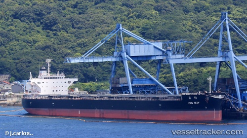
Vessel Ing May IMO: 9789817, MMSI: 636017376 Bulk Carrier
UTC, -31.07224, 153.33122, course: 196, speed: 14.9
UTC, -31.52672, 153.19128, course: 196, speed: 15
2026-02-25 11:37:59 UTC, -31.91668, 153.04126, course: 201, speed: 15
Live AIS position:
UTC. 20 nm SE of Laurieton),
updated 2026-02-25 11:37:59 UTC.
Find the position of the vessel Ing May on the map. The latter are known coordinates and path.
marine traffic ship tracker show on live map
The current position of vessel Ing May is -31.91668 lat / 153.04126 lng. Updated: 2026-02-25 11:37:59 UTCCurrently sailing under the flag of Liberia
Details:
Last coordinates of the vessel:
UTC, -30.53878, 153.49126, course: 193, speed: 14.5UTC, -31.07224, 153.33122, course: 196, speed: 14.9
UTC, -31.52672, 153.19128, course: 196, speed: 15
2026-02-25 11:37:59 UTC, -31.91668, 153.04126, course: 201, speed: 15