 vesseltracker.com
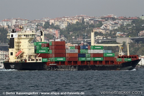
Vessel Inga A IMO: 9020338, MMSI: 271043457 Container Ship
Live AIS position:
UTC. 27 nm W of Saint Lawrence),
updated 2025-07-13 17:36:57 UTC.
Find the position of the vessel Inga A on the map. The latter are known coordinates and path.
marine traffic ship tracker show on live map
The current position of vessel Inga A is 35.86691 lat / 13.68992 lng. Updated: 2025-07-13 17:36:57 UTCCurrently sailing under the flag of Panama
Inga A built in 1993 year
Deadweight:
12184 tDetails:
Last coordinates of the vessel:
2025-07-13 17:36:57 UTC, 35.86691, 13.68992, course: 116, speed: 0.4