 vesseltracker.com
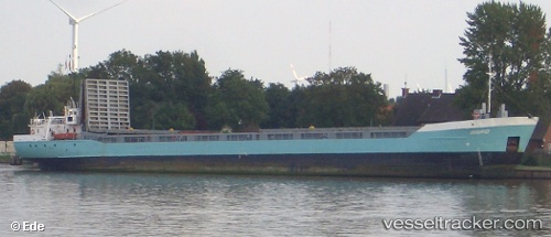
Vessel Ingrid IMO: 9529889, MMSI: 368485000 Offshore Tug Supply Ship
UTC, 25.76333, -75.31167, course: -1, speed: 2
UTC, 25.73667, -75.25667, course: -1, speed: 1
2026-02-27 06:12:51 UTC, 25.68667, -75.09667, course: -1, speed: 4
Live AIS position:
UTC. 71 nm NE of Arthur's Town, Cat Island),
updated 2026-02-27 06:12:51 UTC.
Find the position of the vessel Ingrid on the map. The latter are known coordinates and path.
marine traffic ship tracker show on live map
The current position of vessel Ingrid is 25.68667 lat / -75.09667 lng. Updated: 2026-02-27 06:12:51 UTCDetails:
Last coordinates of the vessel:
UTC, 25.80167, -75.31833, course: -1, speed: 5UTC, 25.76333, -75.31167, course: -1, speed: 2
UTC, 25.73667, -75.25667, course: -1, speed: 1
2026-02-27 06:12:51 UTC, 25.68667, -75.09667, course: -1, speed: 4