 vesseltracker.com
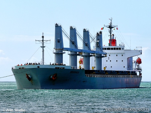
Vessel INOI IMO: 9400928, MMSI: 538011452 General Cargo
UTC, 44.14926, 28.64419, course: 341, speed: 0
UTC, 44.14926, 28.64421, course: 341, speed: 0
2026-02-25 12:18:38 UTC, 44.14934, 28.64418, course: 341, speed: 0
Live AIS position:
UTC. Near Constanta),
updated 2026-02-25 12:18:38 UTC.
Find the position of the vessel INOI on the map. The latter are known coordinates and path.
marine traffic ship tracker show on live map
The current position of vessel INOI is 44.14934 lat / 28.64418 lng. Updated: 2026-02-25 12:18:38 UTCCurrently sailing under the flag of Marshall Islands
Details:
Last coordinates of the vessel:
UTC, 44.14926, 28.64424, course: 341, speed: 0UTC, 44.14926, 28.64419, course: 341, speed: 0
UTC, 44.14926, 28.64421, course: 341, speed: 0
2026-02-25 12:18:38 UTC, 44.14934, 28.64418, course: 341, speed: 0