 vesseltracker.com
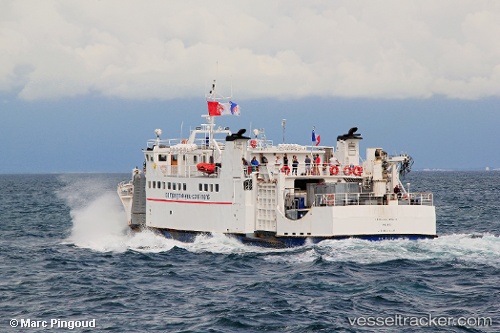
Vessel INSULA IMO: 8956827, MMSI: 620128000 Passenger
UTC, 47.72747, -3.36435, course: 235, speed: 0
UTC, 47.72746, -3.36436, course: 235, speed: 0
2026-02-24 19:38:54 UTC, 47.72742, -3.36435, course: 235, speed: 0
Live AIS position:
UTC. Near Lorient),
updated 2026-02-24 19:38:54 UTC.
Find the position of the vessel INSULA on the map. The latter are known coordinates and path.
marine traffic ship tracker show on live map
The current position of vessel INSULA is 47.72742 lat / -3.36435 lng. Updated: 2026-02-24 19:38:54 UTCCurrently sailing under the flag of Comoros
Details:
Last coordinates of the vessel:
UTC, 47.72741, -3.36437, course: 235, speed: 0.1UTC, 47.72747, -3.36435, course: 235, speed: 0
UTC, 47.72746, -3.36436, course: 235, speed: 0
2026-02-24 19:38:54 UTC, 47.72742, -3.36435, course: 235, speed: 0