 vesseltracker.com
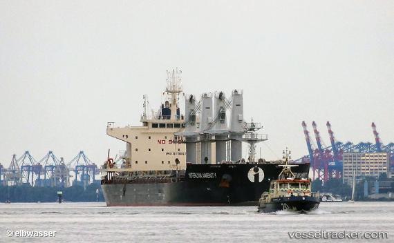
Vessel Interlink Amenity IMO: 9738674, MMSI: 538005710 Bulk Carrier
Live AIS position:
UTC. Near Cape St. Jacques),
updated 2025-10-28 17:10:45 UTC.
Find the position of the vessel Interlink Amenity on the map. The latter are known coordinates and path.
marine traffic ship tracker show on live map
The current position of vessel Interlink Amenity is 10.23020 lat / 107.07094 lng. Updated: 2025-10-28 17:10:45 UTCCurrently sailing under the flag of Marshall Is
Details:
Last coordinates of the vessel:
2025-10-28 17:10:45 UTC, 10.23020, 107.07094, course: 61, speed: 0