 vesseltracker.com
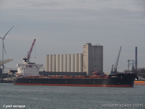
Vessel LORD BYRON IMO: 9803340, MMSI: 538009484 Bulk Carrier
UTC, -38.78469, -62.30089, course: 345, speed: 0
UTC, -38.78471, -62.30094, course: 345, speed: 0
2026-02-25 05:54:51 UTC, -38.78463, -62.30094, course: 345, speed: 0
Live AIS position:
UTC. Near Ingeniero White/Bahia Blanca),
updated 2026-02-25 05:54:51 UTC.
Find the position of the vessel LORD BYRON on the map. The latter are known coordinates and path.
marine traffic ship tracker show on live map
The current position of vessel LORD BYRON is -38.78463 lat / -62.30094 lng. Updated: 2026-02-25 05:54:51 UTCCurrently sailing under the flag of Marshall Islands
LORD BYRON built in 2017 year
Deadweight:
81837 tDetails:
Last coordinates of the vessel:
UTC, -38.78469, -62.30091, course: 345, speed: 0UTC, -38.78469, -62.30089, course: 345, speed: 0
UTC, -38.78471, -62.30094, course: 345, speed: 0
2026-02-25 05:54:51 UTC, -38.78463, -62.30094, course: 345, speed: 0