 vesseltracker.com
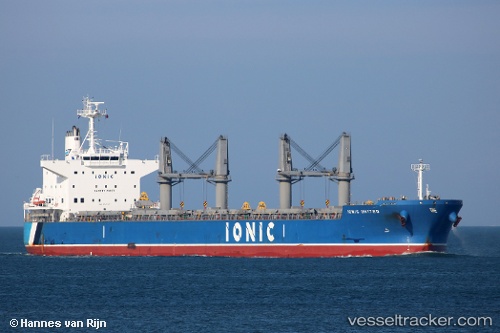
Vessel Ionic United IMO: 9747417, MMSI: 538006703 Bulk Carrier
UTC, 14.35591, -95.76455, course: 110, speed: 10.1
UTC, 14.22231, -95.50387, course: 102, speed: 10
2026-02-25 21:59:22 UTC, 13.85787, -94.76953, course: -1, speed: 11.3
Live AIS position:
UTC. 141 nm S of Salina Cruz),
updated 2026-02-25 21:59:22 UTC.
Find the position of the vessel Ionic United on the map. The latter are known coordinates and path.
marine traffic ship tracker show on live map
The current position of vessel Ionic United is 13.85787 lat / -94.76953 lng. Updated: 2026-02-25 21:59:22 UTCCurrently sailing under the flag of Marshall Is
Details:
Last coordinates of the vessel:
UTC, 14.52199, -96.12203, course: 115, speed: 11.2UTC, 14.35591, -95.76455, course: 110, speed: 10.1
UTC, 14.22231, -95.50387, course: 102, speed: 10
2026-02-25 21:59:22 UTC, 13.85787, -94.76953, course: -1, speed: 11.3